

Operational and Technical Support
The Hydrographic Institute can provide operational support activities and services in the following areas:
Marine Geology
- Localization, visualization and inspection of submarine structures;
- Surveys of the bottom sediment cover and underlying structures (sample collection;
- direct visualization and geo physical surveying – side scan sonar, seismic reflection and magnetometry);
- Physical and chemical characterization of the bottom sediment cover (for dredging operations);
- Sediment volume calculations;
- Support in the location of maritime accidents.
Oceanography
- Drift monitoring and forecast;
- Tides observation and forecast;
- Coastal meteorological observation;
- Wave observation and forecast;
- Support to the operational activity of the Navy.
Navigation
- Magnetic compasses certification and compass compensation;
- Navigational lights certification;
- Maritime Signalling Projects (including analysis of maritime accidents);
- Ships manoeuvring trials;
- Nautical Publications (including the Admiralty charts corrections);
- Certification and reparation of meteorological equipment’s.
Hydrography
- Military nautical charts;
- Special cartographic products;
- Electronic military charts;
- Additional Military layers;
- Top-hydrographic surveys
- Calculations of volumes to be dredged and dredged.
servicos
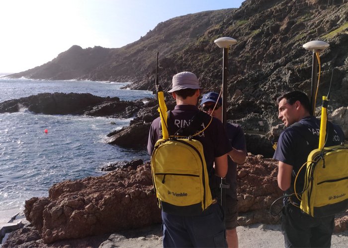
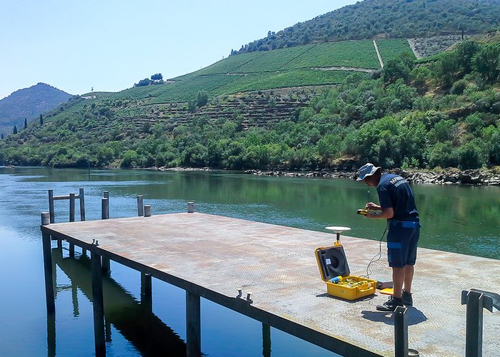
Levantamentos topográficos
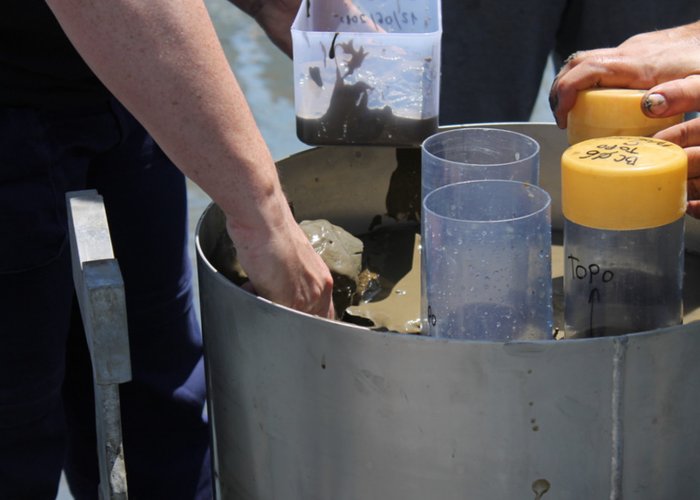
Colheita de amostras de sedimentos
0
2018-03-12